GEODESY
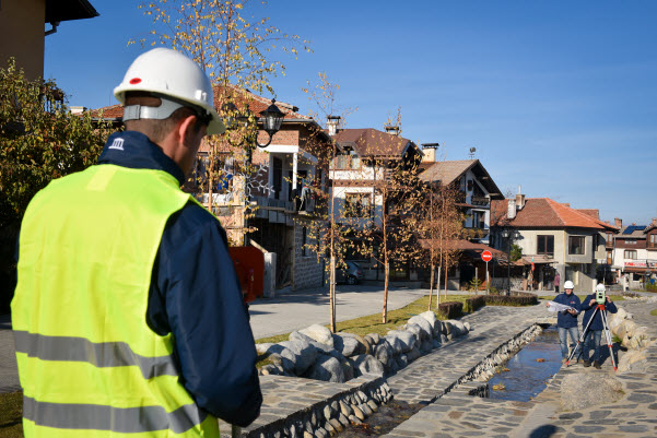
Vinstroi Ltd. performs the entire range of geodetic services offered on the market – geodetic photography of property, geodetic photography of building, lot or any other type of sites, creating a cadaster map and designs for registry and modifications in the cadaster map, vertical planning and design of sites, tracing a building, property borders and all other sites, GPS measurements. Below mentioned are all geodetic services we offer. If you are interested in geodetic services and their prices, do not hesitate sending a quote to us or call tel.: 0879 313 161
Geodetic photography of sites
We carry out geodetic photography of property, geodetic photography of building, property borders, lands, forests, linear sites and others, including processing, formatting and arranging photography in folders depending on their further application.
We carry out geodetic photography of property, geodetic photography of building, property borders, lands, forests, linear sites and others, including processing, formatting and arranging photography in folders depending on their further application.
Creating cadaster map and cadaster registries
Vinstroi Ltd. has a wide experience in creating cadaster map of whole settlements, including cadaster registries with data about the owners.
Tracing sites
The company performs tracing of building, property and property borders, tracing agricultural land and forests, tracing points, tracing linear sites as well as compiling a protocol of the tracing performed.
The company performs tracing of building, property and property borders, tracing agricultural land and forests, tracing points, tracing linear sites as well as compiling a protocol of the tracing performed.

Development projects for changes of cadaster map and cadaster registries
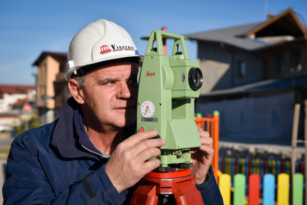
Vinstroi Ltd. offers developing of projects for registry in the cadaster and existing cadaster map, listing property in the cadaster and existing cadaster map, listing building in the cadaster and existing cadaster map as well as projects when modifying the outline of buildings and property borders. The company also develops registry projects.
Vinstroi Ltd. offers developing of projects for registry in the cadaster and existing cadaster map, listing property in the cadaster and existing cadaster map, listing building in the cadaster and existing cadaster map as well as projects when modifying the outline of buildings and property borders. The company also develops registry projects.
Developing investment design projects
We offer developing projects in part Geodesy for investment design sites, including vertical planning and design of longitude and cross profiles, leveling and tracing plans.
We offer developing projects in part Geodesy for investment design sites, including vertical planning and design of longitude and cross profiles, leveling and tracing plans.
Sharing land plots
Our company offer developing projects for sharing land plot, including preparing the entire documentation necessary for the share.
Our company offer developing projects for sharing land plot, including preparing the entire documentation necessary for the share.
Design of roads and parking lots
Vinstroi Ltd. offers design roads and parking lots as well as other linear sites. In the project included is geodetic photography, construction of longitude and cross profiles, design of leveling and tracing plan with coordinates of main points.
Vinstroi Ltd. offers design roads and parking lots as well as other linear sites. In the project included is geodetic photography, construction of longitude and cross profiles, design of leveling and tracing plan with coordinates of main points.
Digitizing and vectorization of maps
Vinstroy Ltd. performs digitizing and vectorization of maps and other drawings from hard copy in digital form.
Vinstroy Ltd. performs digitizing and vectorization of maps and other drawings from hard copy in digital form.
Developing supporting geodetic networks (SGN) and operative geodetic basis (OGB)
Developing supporting geodetic networks (SGN) and operative geodetic basis (OGB).
Developing supporting geodetic networks (SGN) and operative geodetic basis (OGB).